|
 |
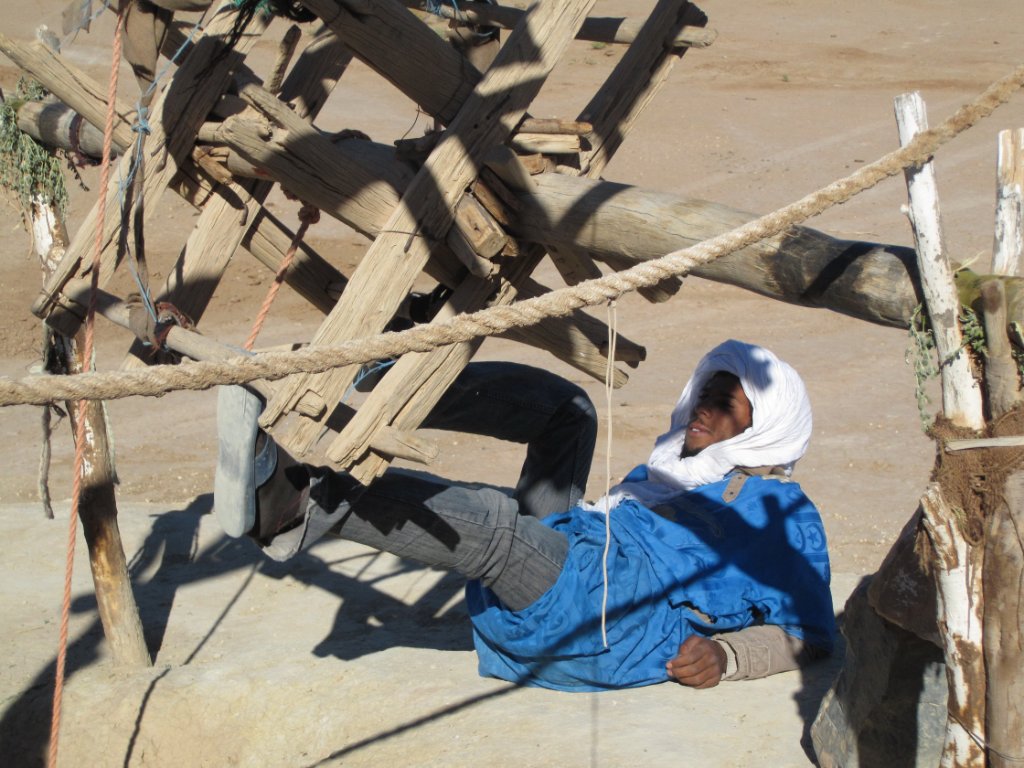
| Getting the bucket out of the well | |
| Latitude: N 31°31'49,76" | Longitude: W 4°29'30,39" | Altitude: 854 metres | Location: Ksar el Jdid | State/Province: Meknès-Tafilalet | Country: Marokko | Copyright: Ron Harkink | See map | |
| Total images: 20 | Help | |
|
 |
| Getting the bucket out of the well | |
| Latitude: N 31°31'49,76" | Longitude: W 4°29'30,39" | Altitude: 854 metres | Location: Ksar el Jdid | State/Province: Meknès-Tafilalet | Country: Marokko | Copyright: Ron Harkink | See map | |
| Total images: 20 | Help | |